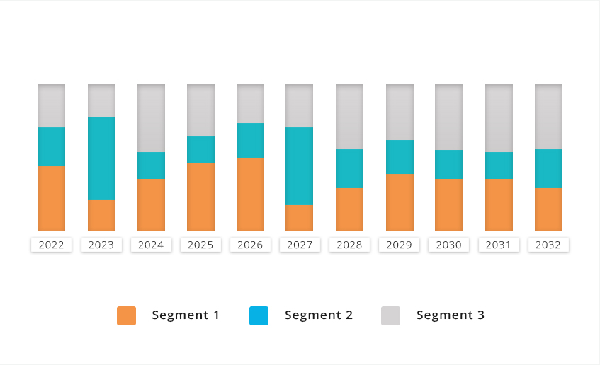
The global Hydrographic survey software market is analyzed on the basis of type, the market is categorized into by Component, by Technology, by Application, by Deployment, by End-user. Region wise, the market is analyzed across North America, Europe, Asia-Pacific, and LAMEA.
Hydrographic survey software market Overview

The report covers the drivers, restraints, and opportunities of the market. It focuses on the current market strategies adopted by the key players in the industry. These market players have been profiled in the report along with their strategic developments, such as partnership, expansion, collaboration, joint ventures, and others. The report also provides a detailed global market analysis on the basis of competitive scenario and how the competition will evolve in the coming years. The current market is also quantitatively analyzed to highlight the growth scenario of the market.
Top Impacting Factors: Markets Scenario Analysis, Trends, Drivers, And Impact Analysis
The factors that are expected to drive/restrain the demand for Hydrographic survey software market are analyzed in the study. In addition, the cost impact on the market growth/decline has been thoroughly explained. Moreover, the potential factors are anticipated to provide lucrative opportunities for the market expansion.
Key Companies identified in the report are Esri, Leica Geosystems, Applanix, Kongsberg Geospatial, Teledyne Caris, Kurv Studios, Oculus Info Inc., Teledyne Optech, Kongsberg HD Systems, Trimble Inc.
Key Reasons to Buy the Report
-
Major region/country level quantitative and qualitative analysis
-
Detailed segment analysis at country level
-
Key supplier profiling and market share analysis
-
Free 20% customization and post-sales support
Hydrographic Survey Software Market Report Highlights
| Aspects | Details |
| By Component |
|
| By Technology |
|
| By Application |
|
| By Deployment |
|
| By End-user |
|
| By Region |
|
| Key Market Players | Oculus Info Inc., Applanix, Kurv Studios, Kongsberg HD Systems, Kongsberg Geospatial, Leica Geosystems, Teledyne Optech, Teledyne Caris, Trimble Inc., Esri |
Loading Table Of Content...


